National Outdoor Leadership School•Bishop, CA•11/20/25
Biology and Chemistry Minors
University of Oregon•Eugene, OR
Plant Propagation and Seed Collection Workshop
California Native Plant Society•San Diego, CA•1/13/26
Native Plant Maintenance Workshop
California Native Plant Society•San Diego, CA•10/22/25
GIS Data and Field Intern
Organization: San Diego River Park Foundation
Location: San Diego, CA
Date: December 2025 - March 2026
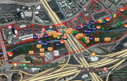
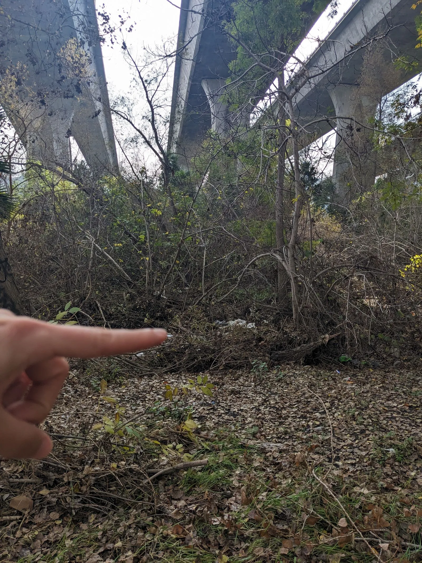
Overview: A field data collection and analysis internship in the San Diego Riverbed. As River Assessment Field Team (RAFT) interns, we navigated challenging terrain to log trash and encampment data. We provided outreach to unhoused populations and communicated the project mission to members of the public. Back in the office, we QAed and analyzed field data to create reports for land managers. I also completed an independent GIS project and data analysis pipeline
Details:
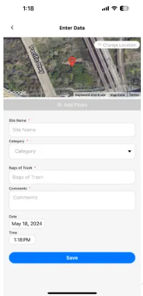
Conducts riparian field surveys and maps environmental data using mobile software
Documents pollution sites and estimates removal requirements as part of a field team
Performs data entry, QA, and GIS analysis tasks to support land managers
Surveys and provides basic outreach to unhoused populations
Independently engineered custom QGIS plugin to streamline heatmap generation and developed a Python pipeline POC to automate manual spreadsheet analysis tasks. Find out more about these projects here.
Field Botany Volunteer
Organization: U.S. Forest Service
Location: San Diego, CA
Date: December 2025 - April 2026
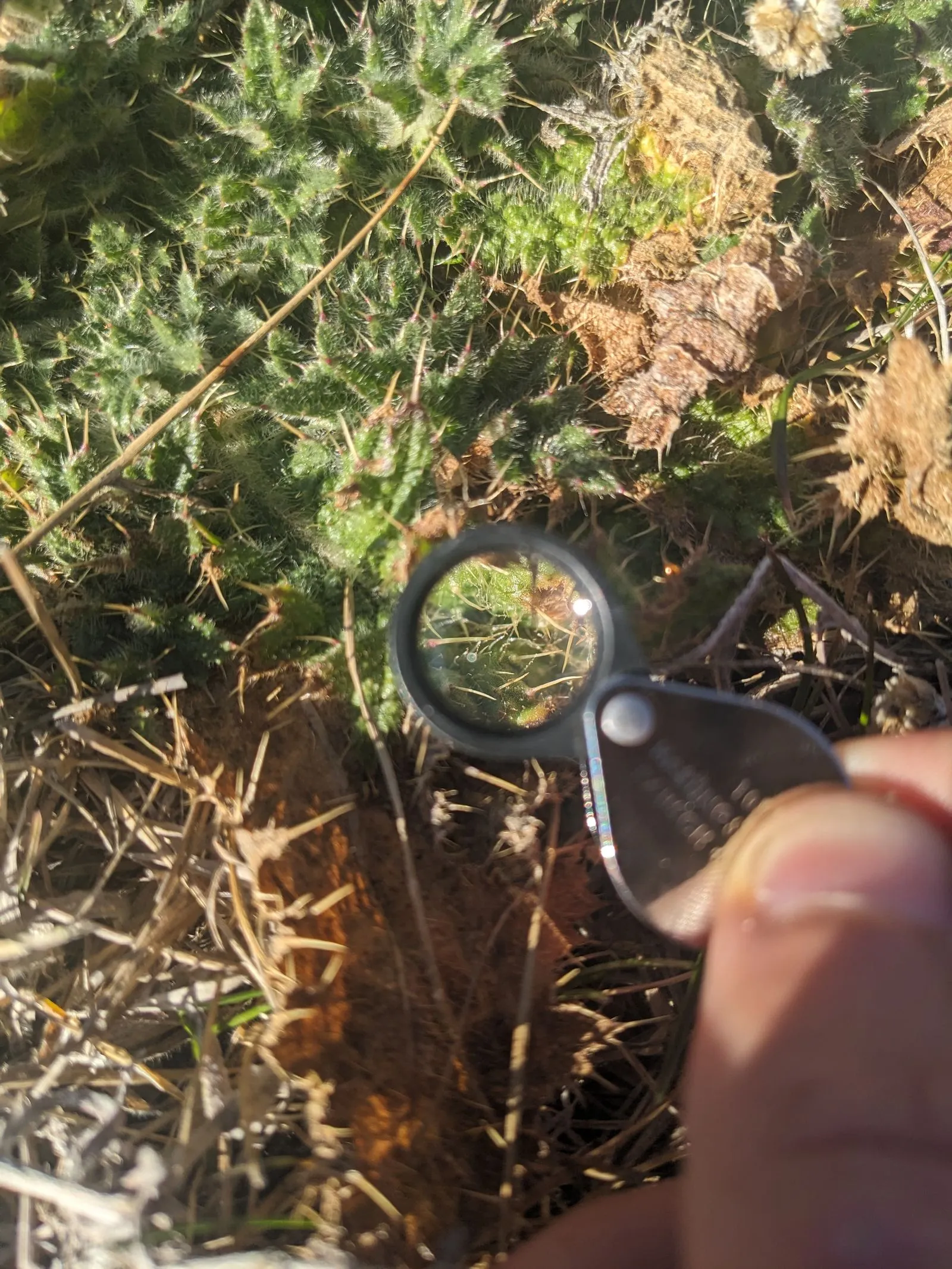
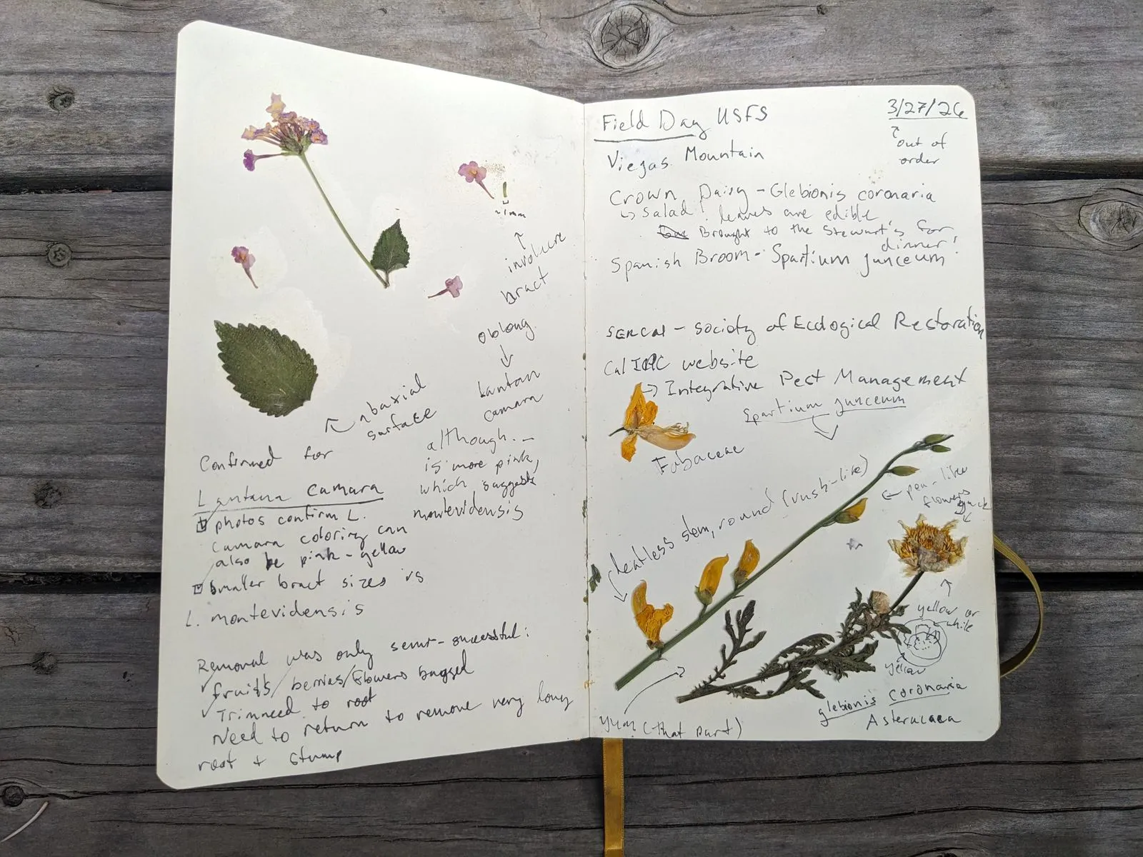
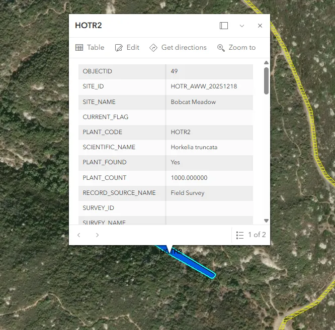
Overview: Field volunteer assisting a U.S. Forest Service botanist in the Cleveland National Forest. Katya Hernandez-Pol introduced me to rare and invasive plant surveys, more complex plant ID using dichotomous keys, and ArcGIS Field Maps. Before I left for my seasonal job in Idaho, she had begun sending me on solo missions to locate, ID, and remove invasive species. I also started keeping an informal field notebook during this time, a habit which I continue to this day.
Details:
Assists with rare plant and invasive species surveys using ArcGIS Field Maps
QAs collected data
Identifies native and invasive plants using field guides and the Jepson Manual
Independently performs hand-removal of invasive plants
Began project to create digital flashcard resource for practicing ID for the CNPS field botanist certification
Tree Inventory Volunteer
Organization: Trees Idaho, City of Bellevue
Location: Bellevue, ID
Date: June 2026 - August 2026
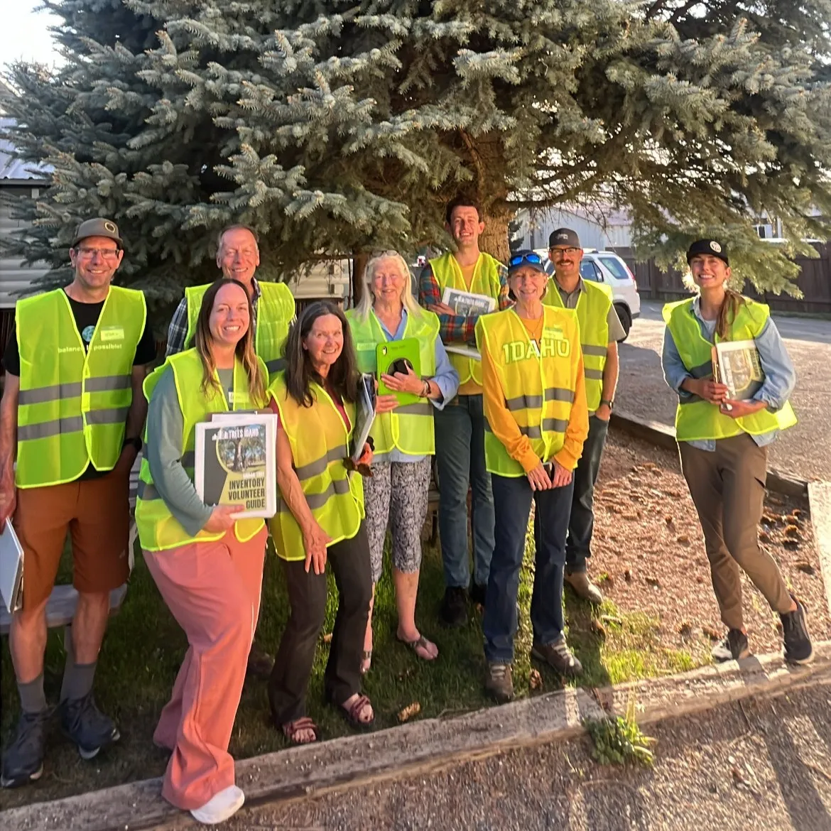
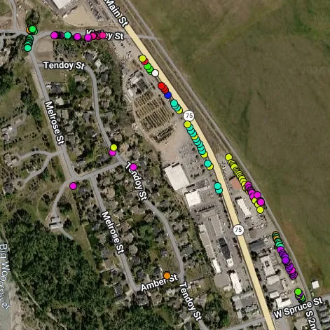
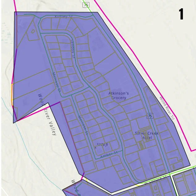
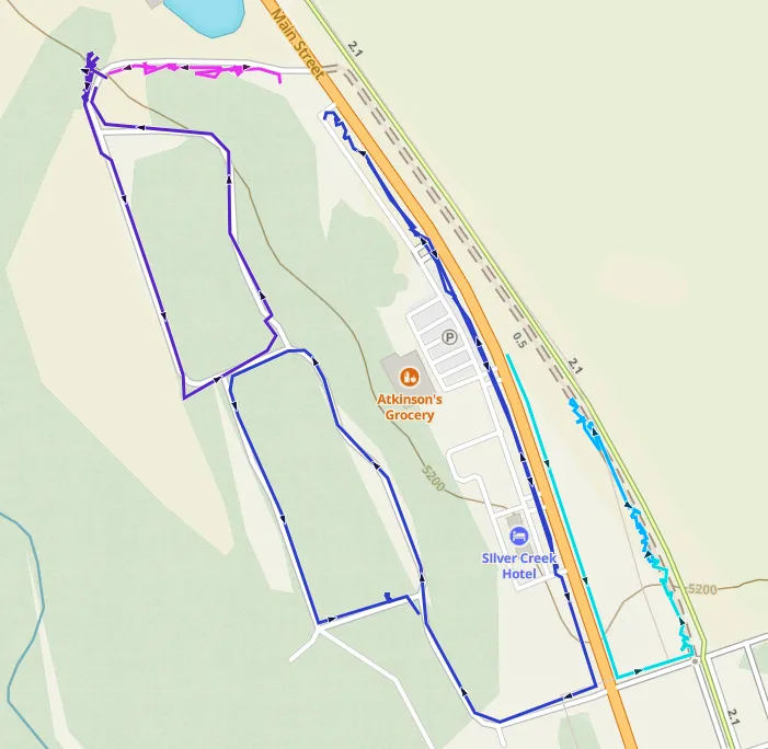
Overview: Independently completed a survey of a north Bellevue segment to map and collect data on all trees in the 80ft public right of way over the course of several weekends in the summer. I improved my tree identification skills and came to appreciate the difficulties associated with horticultural plant ID due to non-native landscaping!
Details:
Collects multiple data points including DBH, disease status, tree identification, and photos in assigned segment
Performs data QA post-survey to ensure accuracy
Communicates project mission with members of the public
Water Quality Monitoring Volunteer
Organization: San Diego Coastkeeper
Location: San Diego, CA
Date: February 2025 - December 2025
Overview: Water quality sampling program in Mission Bay and surrounding waterways. This was my first experience with environmental field work, and I was hooked!
Details:
Analyzes water samples using YSI Pro1020 Meter, salinity tester, and turbidimeter
Collects, records, and handles samples according to established QA protocols
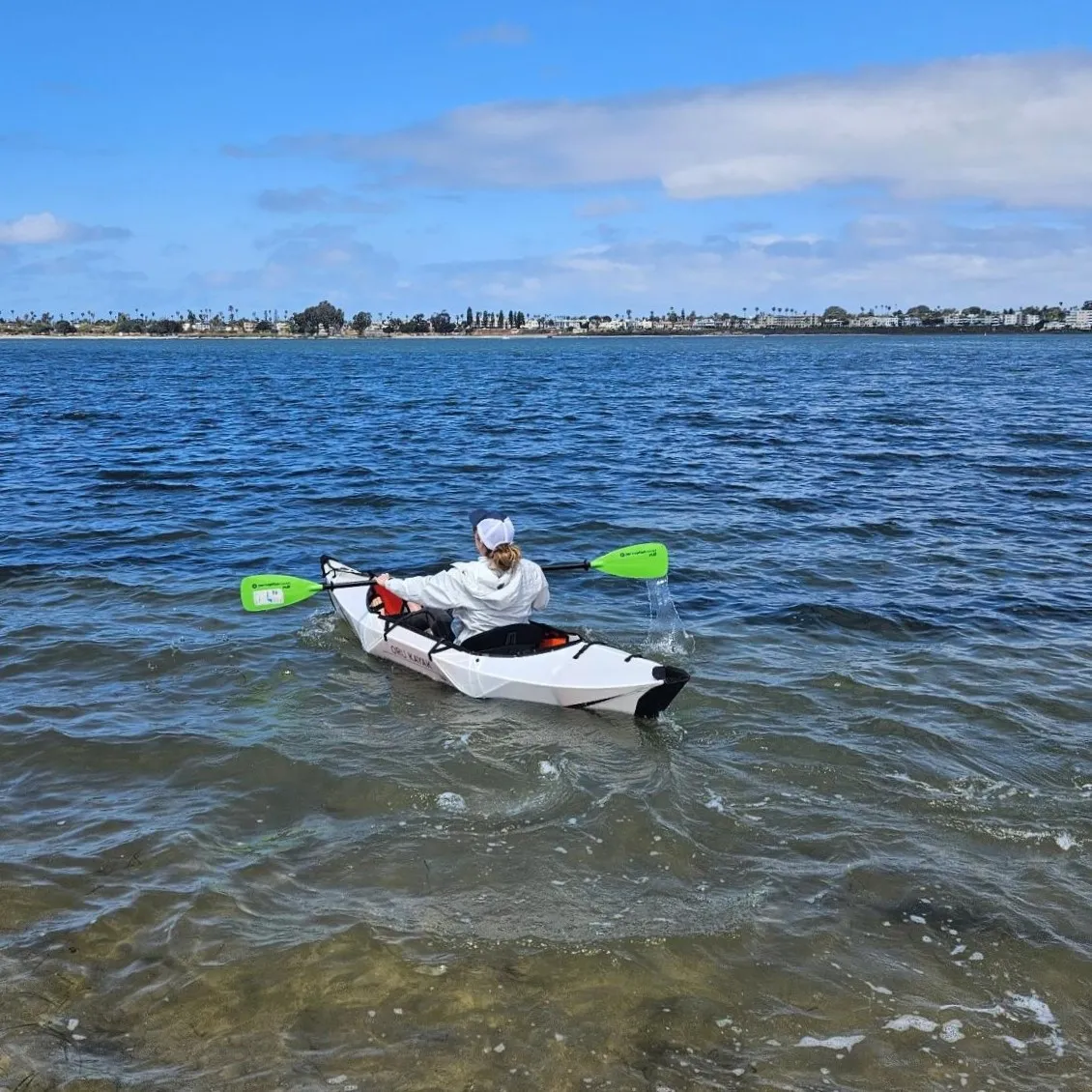
Utilizes kayaks and ropes to access sampling sites